USVI Info
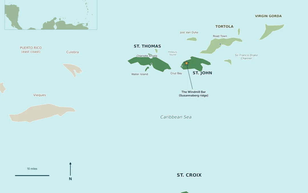
A Virgin Islands map shows roughly 90 islands, cays and rocks scattered across the line where the Atlantic Ocean meets the Caribbean Sea, about 40 miles east of Puerto Rico. The map splits into two territories: the U.S. Virgin Islands (St. Thomas, St. John, St. Croix...
USVI Info
The cheapest Caribbean islands are usually the ones that are easy to reach, priced in a currency that works for you, and full of free things to do once you land. For most US travelers that short list starts with Puerto Rico, the Dominican Republic, Jamaica, Curaçao...
USVI Info
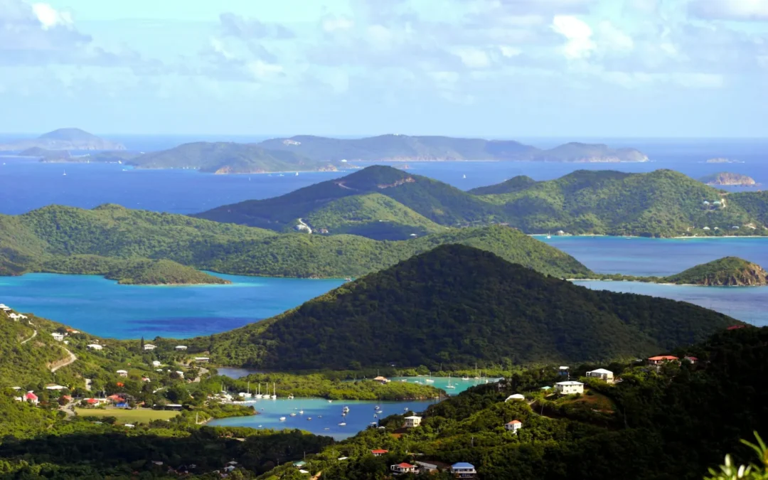
What islands are in the US Virgin Islands? Three main ones: St. Thomas, St. John and St. Croix, plus little Water Island and about 50 smaller islands and cays scattered around them. Together they add up to roughly 134 square miles of land, about 40 miles east of...

USVI Info
Why Staying in St. Thomas Makes Sense for a St. John TripThe St. Thomas to St. John Ferry, Honestly ExplainedWhat to Look for in a St. Thomas Hotel for St. John Day TripsOur Pick: The Mary Anne Boutique HotelAnother Smart Pick: The Ritz-Carlton, St. ThomasWhile You’re...
USVI Info
Do you need a passport for US Virgin Islands trips? If you are a US citizen flying in from the mainland or Puerto Rico, no. The USVI is a US territory, so getting to St. Thomas, St. John or St. Croix works like a domestic trip: you show the same ID at airport security...