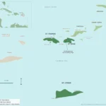
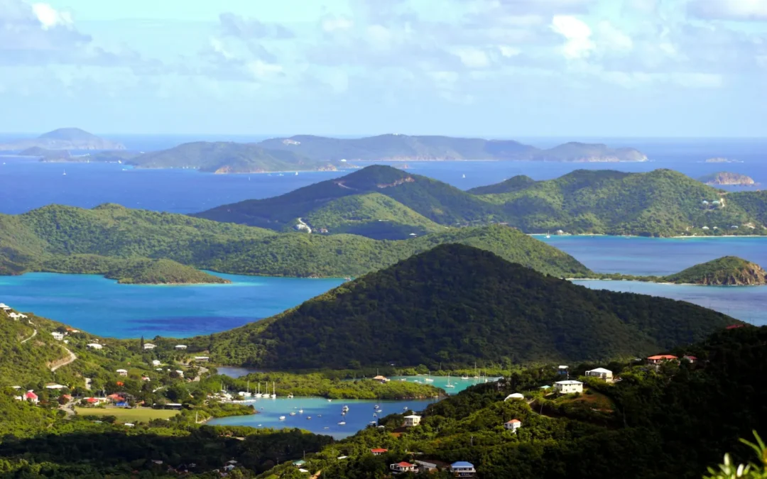
What islands are in the US Virgin Islands? Three main ones: St. Thomas, St. John and St. Croix, plus little Water Island and about 50 smaller islands and cays scattered around them. Together they add up to roughly 134 square miles of land, about 40 miles east of Puerto Rico, and every one of them is US soil. Here is what each island is like, how big it is, how you get there, and which one fits the trip you have in mind.
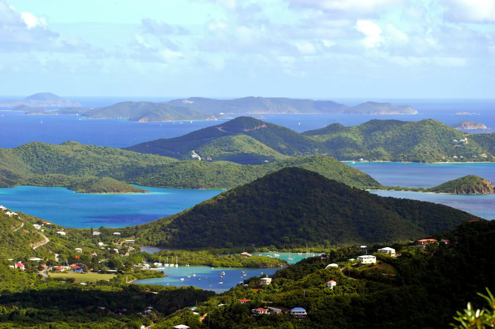
What Islands Are in the US Virgin Islands at a Glance
The quick answer in one table. Land areas are approximate and populations are from the 2020 census, as of November 2026.
| Island | Land area | People (2020 census) | Best known for | How you get there |
|---|---|---|---|---|
| St. Croix | About 83 sq mi | 41,004 | Biggest island, Christiansted and Frederiksted, Buck Island Reef | Direct flights or a short hop from St. Thomas |
| St. Thomas | About 32 sq mi | 42,261 | Capital city Charlotte Amalie, main airport, cruise port | Fly into Cyril E. King Airport (STT) |
| St. John | About 20 sq mi | 3,881 | Two-thirds national park, beaches, hiking, Cruz Bay | Ferry from St. Thomas (no airport) |
| Water Island | The smallest of the four | A small community | Quiet beaches, the “fourth Virgin Island” | Short boat ride from St. Thomas |
| Minor islands and cays | About 50 of them | Mostly uninhabited | Snorkeling, sailing, birds, history | By boat, kayak or tour |
So if someone asks you what islands are in the US Virgin Islands, “St. Thomas, St. John, St. Croix and Water Island” is the full answer for the inhabited ones. The rest are cays you will see from the beach or sail past on a day trip.
St. Thomas: The Gateway Island
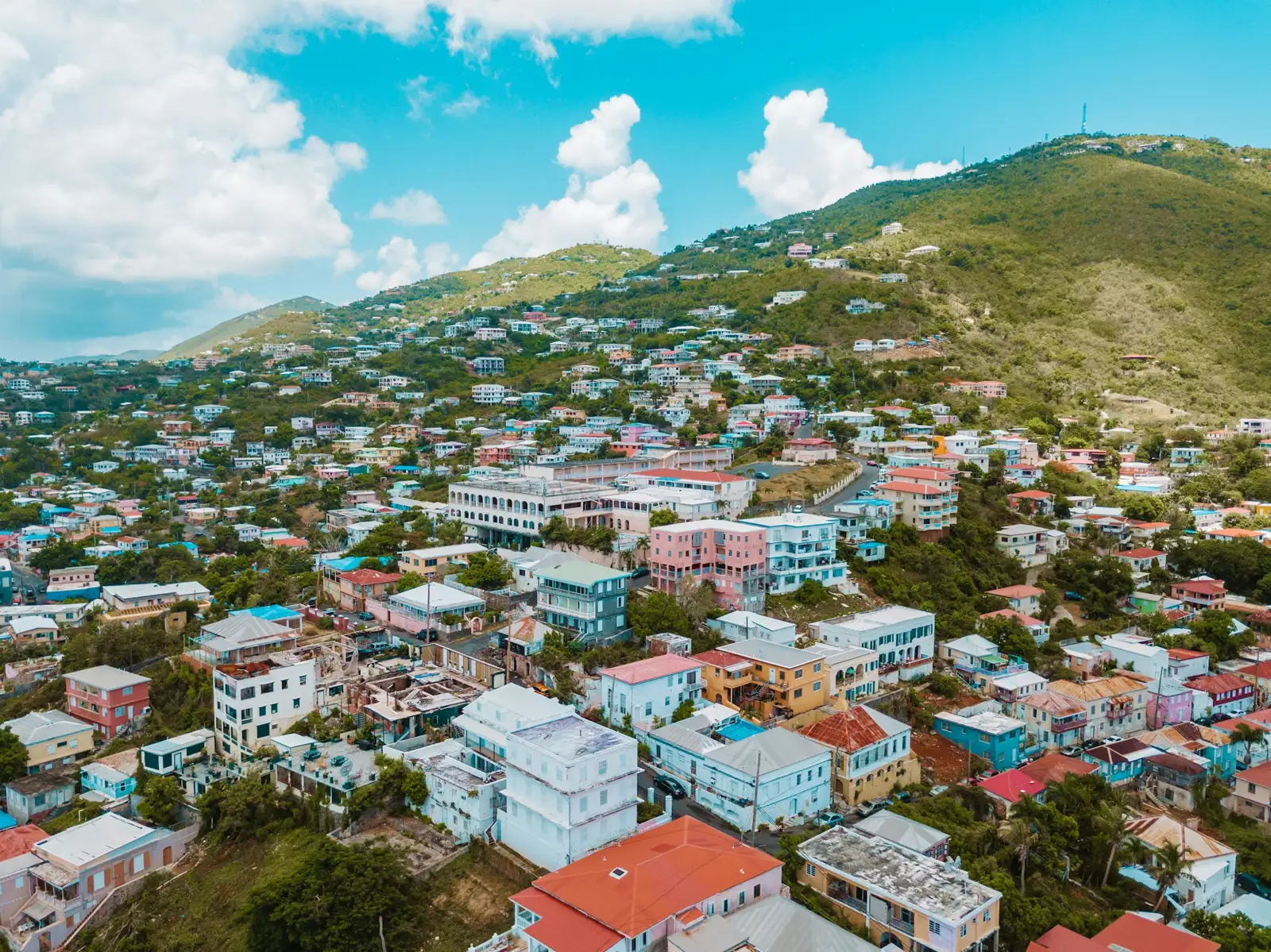
St. Thomas is where most trips start. Cyril E. King Airport (STT) is here, so is the territory’s capital, Charlotte Amalie, and so is the highest point in the USVI, Crown Mountain at 1,555 feet. About 42,000 people live on its 32 square miles, which makes it the most crowded island and the one with the most going on: a busy harbor, shopping streets with old Danish warehouses, and hillsides full of brightly painted houses.
For St. John visitors, St. Thomas is mostly the handoff point. You land, grab an open-air taxi, and head to one of two ferry docks. Our St. John ferry schedule guide walks through Red Hook versus Crown Bay so you can pick the easier one for your flight time.
St. John: The Island That Is Mostly National Park
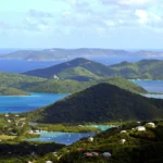
St. John is the smallest of the three main islands at about 20 square miles, and the quietest, with just under 3,900 people. The big reason it feels so different: Virgin Islands National Park covers about two-thirds of the island, according to the National Park Service. That protected land is why so much of St. John is still green hills, empty trails and clear bays instead of buildings.
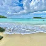
There is no airport, so everyone arrives by boat into Cruz Bay, the main town. From there it is a short drive to famous north shore beaches like Trunk Bay and Cinnamon Bay, plantation ruins, petroglyph trails and some of the best snorkeling in the Caribbean. Coral Bay on the east end has a slower, more rural feel.
This is also home for us. The Windmill Bar sits on the ridge at Susannaberg, two miles up Centerline Road from Cruz Bay at Neptune’s Lookout. If you want the full island rundown, start with our St. John Virgin Islands guide.
St. Croix: The Biggest of the Virgin Islands
St. Croix is the largest island in the territory at about 83 square miles, more than St. Thomas and St. John combined, with around 41,000 residents. It sits on its own across open water to the south of the other two, so it has its own rhythm: two historic towns, Christiansted and Frederiksted, rolling countryside, and long stretches of coastline.
Off its northeast coast is Buck Island Reef National Monument, a 176-acre island the National Park Service protects for its coral reef and its famous underwater snorkel trail. Most visitors pair St. Croix with a separate trip, since getting there from St. Thomas means a short flight or seaplane hop rather than a quick ferry.
Water Island: The Fourth Virgin Island
Water Island is the one most people forget. It sits just off the south side of St. Thomas, a short boat ride from the harbor, and it officially became the fourth US Virgin Island fairly recently. The federal government transferred 50 acres to the territory in 1996, and the remaining 200 acres followed in May 2005, for a grand total of $10.
It is small, residential and quiet, with a few roads, a handful of homes and a calm beach that is popular for day trips. Think golf carts and picnics, not resorts.
The Smaller Islands and Cays
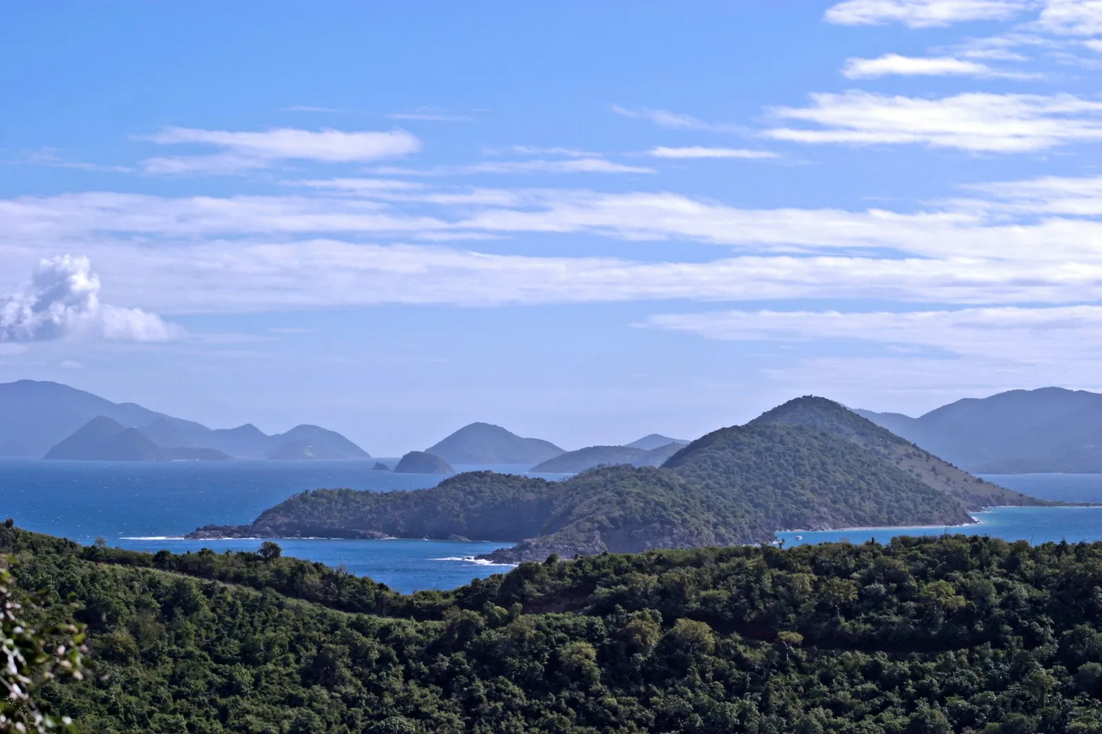
Beyond the four inhabited islands, the list of what islands are in the US Virgin Islands runs to about 50 minor islands and cays. Most are uninhabited, rocky and green, and many are protected. A few worth knowing:
- Hassel Island sits in Charlotte Amalie harbor, and nearly all of it is managed by the National Park Service.
- Buck Island (St. Croix) is the reef monument mentioned above, with an underwater trail for snorkelers.
- Trunk Cay is the little island right off Trunk Bay on St. John, the one in all the postcard shots.
- Cinnamon Cay is an easy snorkel out from Cinnamon Bay beach.
- The cays around St. Thomas and St. John dot the channels between the islands and are favorite stops for sailors and snorkel charters.
You do not need to memorize them. Just know that half the fun of a day on the water here is pointing at a green dot on the horizon and asking the captain what it is.
US Virgin Islands vs. British Virgin Islands
This trips up a lot of people. The Virgin Islands are one chain, but they are split between two countries. The US Virgin Islands are the four islands above. Right next door, often within sight of St. John, are the British Virgin Islands: Tortola, Virgin Gorda, Jost Van Dyke, Anegada and dozens of smaller islands. They are a British Overseas Territory with their own customs and entry rules.
The practical difference: US citizens can travel to the USVI without a passport, but crossing into the BVI is an international trip and you need one. Our guide on whether you need a passport for the US Virgin Islands covers exactly what ID to bring.
Why These Islands Are American: A Quick History
Before 1917 these islands were the Danish West Indies. The United States bought them from Denmark for $25 million in gold, mainly for strategic reasons, according to the US Department of the Interior. The treaty was signed on August 4, 1916, and the US took possession on March 31, 1917. Locals still celebrate that date every year as Transfer Day.
Virgin Islanders became US citizens in 1927, and the territory now elects its own governor. You will still see the Danish past everywhere: street names like Kongens Gade in Charlotte Amalie, and old sugar mill towers on the hillsides.
Quick Facts for Visitors
- Currency: the US dollar on every island.
- Driving: on the left. The USVI is the only place under the US flag where you do that, usually in a left-hand-drive American car.
- Time zone: Atlantic Standard Time all year. No daylight saving, so in winter you are one hour ahead of New York and in summer you match it.
- Location: about 40 miles east of Puerto Rico in the northeastern Caribbean.
- Passport: not required for US citizens flying in from the mainland or Puerto Rico. Bring a valid government photo ID.
- Getting between St. Thomas and St. John: ferries run all day. See our ferry guide for docks and timing.
Which US Virgin Island Should You Visit?
Once you know what islands are in the US Virgin Islands, the next question is which one to book. Each has its own personality, and there is no wrong pick. A simple way to choose:
- Pick St. Thomas if you want the most hotels, restaurants and shopping, and an easy airport-to-beach day.
- Pick St. John if you want nature first: national park trails, calm snorkel bays, a small-town feel and big views from the ridges.
- Pick St. Croix if you want space, history and a longer, slower stay with plenty of coastline to explore.
- Add Water Island as a half-day escape if you are based on St. Thomas.
Plenty of visitors split a trip between St. Thomas and St. John, since the ferry ride between them is short. Our list of things to do on St. John is a good place to start planning the St. John days.
Want to see how all of these islands fit together? Our Virgin Islands map shows the US and British islands side by side, with distances and ferry routes.
FAQ: What Islands Are in the US Virgin Islands?
How many islands make up the US Virgin Islands?
Three main islands (St. Thomas, St. John and St. Croix), plus Water Island and about 50 smaller islands and cays. Only the four larger islands have real communities.
What is the biggest US Virgin Island?
St. Croix, at about 83 square miles. St. Thomas is second at about 32 square miles and St. John is third at about 20.
Which US Virgin Island is the capital on?
St. Thomas. The capital is Charlotte Amalie, on the island’s south shore harbor.
Are Tortola and Virgin Gorda part of the US Virgin Islands?
No. They belong to the British Virgin Islands, a separate British territory next door. US citizens need a passport to visit them.
Can you visit more than one US Virgin Island on one trip?
Yes. St. Thomas and St. John are linked by frequent ferries, so pairing them is easy. St. Croix is farther away and usually means a short flight.
What is the least crowded US Virgin Island?
Among the main three, St. John, with under 4,000 residents and about two-thirds of the island protected as national park. Water Island is smaller still.
Planning on a budget? See how the USVI compares in our guide to the cheapest Caribbean islands.
Come On Up
Now you know what islands are in the US Virgin Islands, so come see a few of them in person. Once you are on St. John, head two miles up Centerline Road from Cruz Bay to The Windmill Bar at Neptune’s Lookout for cold drinks, good food and one of the big views on the island. We are open daily 11am to 8pm. Check how to find us, peek at the live cam and music schedule, and browse the menu before you come.